Infrastructure & Smart Cities

Helping Cities, Infrastructure Operators & Public Agencies Improve Safety, Visibility & Operational Efficiency
Visual Grab partners with smart city programs, municipal authorities, transportation agencies, infrastructure operators, utilities, airports, ports, and government organizations to design, develop, and deploy Computer Vision and AI-powered solutions that improve public safety, enhance operational visibility, automate monitoring, and support data-driven decision-making.
Our expertise spans the complete lifecycle—from use case discovery and feasibility assessment to AI model development, deployment, integration, and optimization.
Modern cities and infrastructure networks generate vast amounts of visual and operational data. However, monitoring and managing these environments effectively remains a challenge.
We help organizations address:
- Limited real-time visibility across city operations
- Delayed incident detection and response
- Growing public safety concerns
- Traffic congestion and mobility challenges
- Manual monitoring of critical infrastructure
- Crowd management complexities
- Infrastructure maintenance inefficiencies
- Rising operational costs
- Lack of actionable city-wide intelligence
- Resource allocation and planning challenges
Traffic Analytics
Transform traffic camera networks into intelligent systems that continuously monitor and analyze transportation activity.
What It Does
- Detects and classifies vehicles in real time
- Counts vehicles across roads and intersections
- Monitors traffic density and congestion levels
- Measures vehicle speed and movement patterns
- Identifies traffic bottlenecks and hotspots
- Tracks road utilization trends
- Supports traffic signal optimization initiatives
- Generates transportation intelligence dashboards
Applications
- Smart cities
- Urban transportation networks
- Highways and expressways
- Traffic management centers
- Municipal transportation departments
Crowd Monitoring
Monitor public spaces and high-footfall environments to improve safety and operational planning.
What It Does
- Detects crowd formation and movement
- Estimates crowd density levels
- Identifies overcrowding situations
- Monitors pedestrian flow patterns
- Detects unusual crowd behavior
- Supports event and venue management
- Generates occupancy and utilization insights
- Provides real-time crowd alerts
Applications
- Public spaces
- Transportation hubs
- Airports
- Railway stations
- Large public events
Intrusion Detection
Secure critical infrastructure and restricted areas through automated monitoring and intelligent alerting.
What It Does
- Detects unauthorized entry into restricted zones
- Monitors perimeter security breaches
- Identifies suspicious movement patterns
- Detects after-hours activity
- Monitors critical infrastructure assets
- Generates real-time security alerts
- Supports security investigations
- Improves situational awareness across facilities
Applications
- Government facilities
- Utilities and power infrastructure
- Airports and ports
- Industrial zones
- Critical infrastructure sites
Road Condition Monitoring
Continuously assess road conditions and infrastructure health to support proactive maintenance and safer transportation.
What It Does
- Detects potholes and surface damage
- Identifies road cracks and deterioration
- Monitors lane marking visibility
- Detects debris and road obstructions
- Assesses pavement conditions
- Tracks infrastructure degradation over time
- Supports maintenance prioritization
- Generates road condition reports
Applications
- Municipal road networks
- Highways and expressways
- Smart city infrastructure
- Transportation authorities
- Public works departments
Infrastructure Inspection
Automate inspection processes for critical infrastructure assets using Computer Vision and AI.
What It Does
- Detects structural defects and damage
- Monitors bridges, tunnels, and public assets
- Identifies cracks, corrosion, and wear
- Tracks asset condition over time
- Supports predictive maintenance initiatives
- Reduces dependency on manual inspections
- Generates inspection and compliance reports
- Improves infrastructure lifecycle management
Applications
- Bridges and flyovers
- Tunnels
- Utilities infrastructure
- Public buildings
- Transportation infrastructure
Typical Deployment Scenarios
Smart Cities
- Traffic analytics
- Crowd monitoring
- Public safety monitoring
- City-wide operational intelligence
Transportation Infrastructure
- Road condition monitoring
- Traffic management
- Incident detection
- Infrastructure inspection
Airports, Ports & Transit Hubs
- Crowd analytics
- Security monitoring
- Vehicle movement analysis
- Operational visibility
Utilities & Critical Infrastructure
- Perimeter security
- Asset monitoring
- Intrusion detection
- Infrastructure inspection
Municipal & Government Operations
- Public safety monitoring
- Infrastructure management
- Smart city command centers
- Urban planning analytics
Computer Vision Capability
Infrastructure & Smart Cities for Computer Vision Capability
Image Understanding
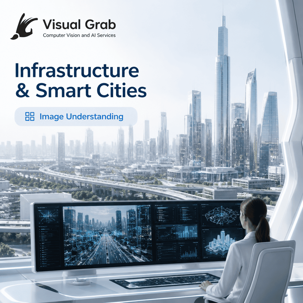
Infrastructure classification → Identify roads, bridges, buildings, and assets
Urban scene interpretation → Understand activity patterns across city zones
Geospatial indexing → Organize visual data for city-wide monitoring
👉 Used for: Structured urban intelligence and asset visibility
Object Detection and Segmentation
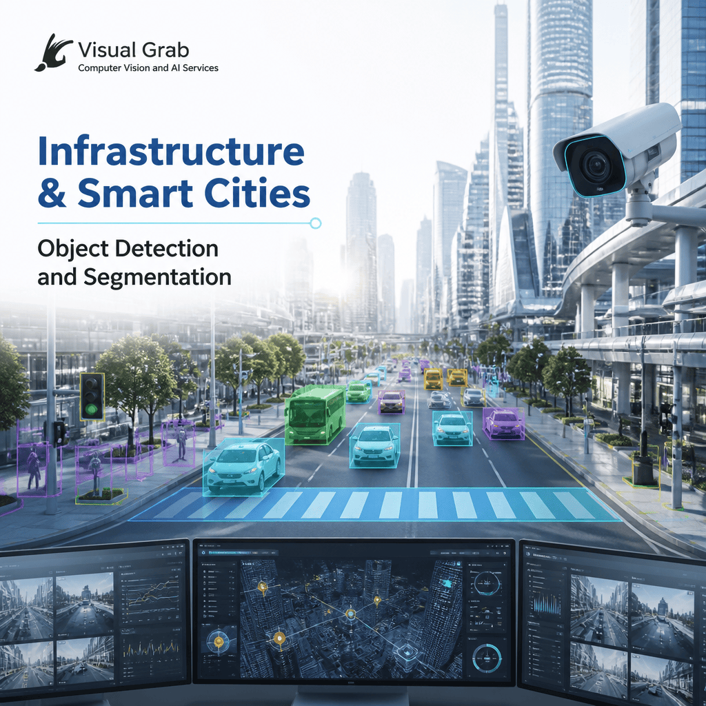
Damage detection → Identify cracks, leaks, and structural issues
Region segmentation → Isolate roads, buildings, and critical infrastructure
Asset tracking → Monitor vehicles, utilities, and public assets
👉 Used for: Infrastructure maintenance and operational monitoring
Motion and Video Intelligence

Crowd flow analysis → Understand movement patterns in public spaces
Traffic behavior monitoring → Detect congestion and irregular driving patterns
Incident detection → Identify accidents, violations, or unusual events
👉 Used for: Public safety, traffic control, and city operations
3D Vision and Spatial AI
3D Vision and Spatial AI

Urban mapping → Create 3D models of city infrastructure
Structural analysis → Assess deformation or changes in structures
Spatial planning → Optimize layout of roads and utilities
👉 Used for: Smart city planning and predictive infrastructure management
Generative Vision AI
Generative Vision AI

Urban scenario simulation → Model future city layouts and expansions
Synthetic data creation → Generate rare event scenarios (e.g., disasters)
Visual enhancement → Improve low-quality surveillance imagery
👉 Used for: Planning, simulation, and resilience modeling
Image Processing and Enhancement

Low-light enhancement → Improve night-time surveillance visibility
Deblurring → Recover details from moving objects in traffic scenes
Contrast adjustment → Highlight structural defects and anomalies
👉 Used for: Reliable monitoring and analysis across conditions
Classical Vision Algorithms

Line detection → Identify roads, lanes, and structural edges
Background subtraction → Detect moving objects in static environments
Corner detection → Identify key structural points
👉 Used for: Efficient, real-time monitoring systems
Deep Learning Vision Models
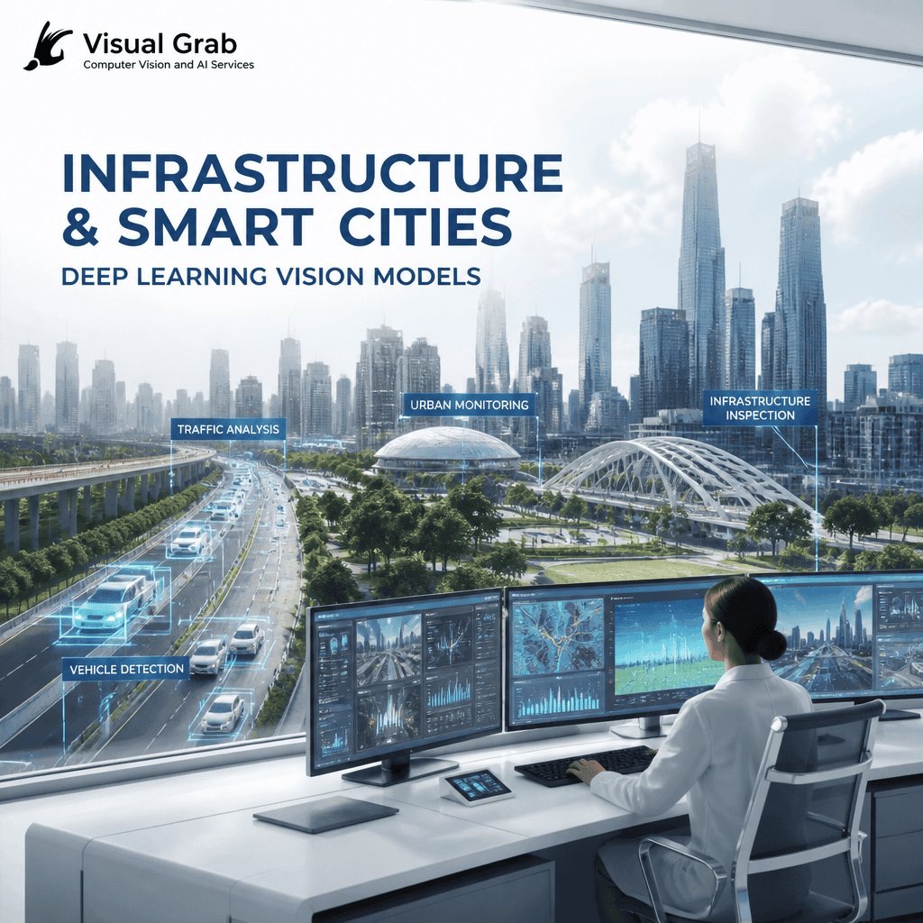
Anomaly detection learning → Identify unusual infrastructure patterns
Semantic segmentation → Understand complex urban scenes
Object recognition → Detect vehicles, people, and assets
👉 Used for: Intelligent city monitoring and automation
Multimodal and Foundation Vision Models

Sensor integration → Combine CCTV, IoT, and geospatial data
Contextual querying → Enable natural language insights on city data
Cross-modal analytics → Correlate visual data with environmental inputs
👉 Used for: Unified smart city intelligence and decision-making
Turn Infrastructure & Smart Cities into Real-Time Business Decisions with AI Vision
Tell us your use case, and we’ll map how AI-powered vision can transform your operations—whether it’s traffic optimization, infrastructure monitoring, public safety, or urban planning insights.
What you’ll receive:
- A tailored AI vision solution approach for infrastructure and smart cities
- Relevant use cases aligned to your urban or industrial environment
- Expected impact on efficiency, safety, and data-driven decision-making
👉 Get My Smart City AI Solution Blueprint
Used across city surveillance, utilities, transportation networks, and public infrastructure for real-time visibility, predictive maintenance, and intelligent urban management.